Chickamauga, 18–20 September 1863
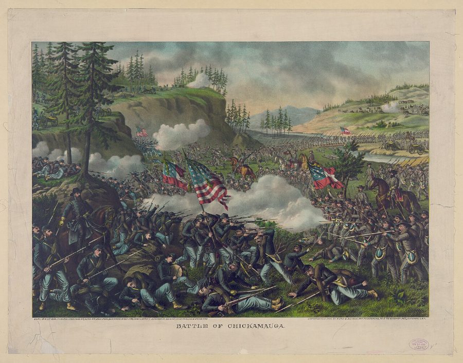
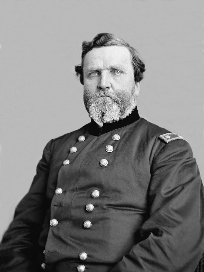
From 18 to 20 September 1863, Bragg's Army of Tennessee, reinforced by Longstreet's corps from Virginia, attacked Rosecrans's Army of the Cumberland in the woods along West Chickamauga Creek in north-west Georgia. On the second day a misunderstood order opened a gap in the Union line just as Longstreet struck, routing a third of Rosecrans's army. George Thomas's stand on Horseshoe Ridge saved the rest and earned him the name "the Rock of Chickamauga." It was the largest Confederate victory in the Western Theater and the second-bloodiest battle of the war, but Bragg failed to follow it up, and within two months Grant broke the siege of Chattanooga.
Open the interactive map7 stages on modern satellite imagery and terrain, with 3D elevation
This battle is part of the full atlas, open to Patreon members. Free battles include Yorktown, Waterloo, The Alamo, Antietam, Little Bighorn, Belleau Wood, Omaha Beach, Ia Drang.
The battle, stage by stage
- Sept 18
Bragg crosses the Chickamauga
Bragg tries to get between Rosecrans and Chattanooga. Forrest and B.R. Johnson force Reed's Bridge against Minty's cavalry; Walker crosses at Alexander's Bridge against Wilder's mounted infantry. The Army of the Cumberland is strung out along the LaFayette Road to the south.
- Sept 19, morning
The battle opens at Jay's Mill
Thomas sends Brannan and Baird east from the Kelly farm to hunt a "lone brigade"; they run into Forrest and Walker near Jay's Mill and the fight spreads south through the woods.
- Sept 19, early afternoon
Fighting spreads south
Cheatham, Stewart, Hood and B.R. Johnson are fed in brigade by brigade against Palmer, Van Cleve, Reynolds and Davis around the Brock and Viniard farms; Stewart briefly breaks through to the LaFayette Road.
- Sept 19, late afternoon to dusk
Cleburne's night attack
Hood's and Johnson's attack across the Viniard field is beaten back by Wilder's Spencer rifles. At dusk Cleburne's division strikes Thomas's line near the Winfrey field. Overnight both armies dig in; Longstreet arrives from Virginia.
- Sept 20, 9–11 AM
Assault on Kelly Field
Breckinridge, Cleburne and Walker assault Thomas's breastworks around Kelly Field from the north and east; Breckinridge gets around the Union left before Union reserves drive him back.
- Sept 20, 11 AM–mid-afternoon
Longstreet's breakthrough
Responding to a mistaken order, Wood pulls his division out of the line just as Longstreet's column of eight brigades (Johnson, Law, Kershaw, Hindman) strikes the gap at the Brotherton farm. The Union right collapses; Rosecrans, McCook and Crittenden are swept off the field.
- Sept 20, afternoon to dark
Thomas on Horseshoe Ridge
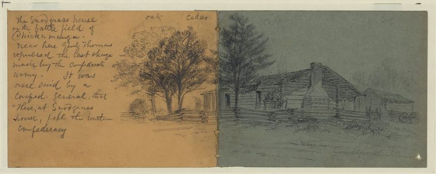
Thomas rallies Brannan, Wood and fragments on Snodgrass Hill and Horseshoe Ridge; Granger marches to the sound of the guns and Steedman's division saves the right. Thomas holds until dark and then withdraws, earning the name "the Rock of Chickamauga".
Paintings and photographs

_of_Top._Engrs...._-_NARA_-_530450.jpg)


Sources and method
How to use: pick one entry under "The battle". Tall blocks moved since the previous map, flat yellow outlines show where they came from, arrows join them, low grey blocks are everyone else. Red = Confederate, blue = Union. Insets on two maps were excluded.