Antietam, 17 September 1862
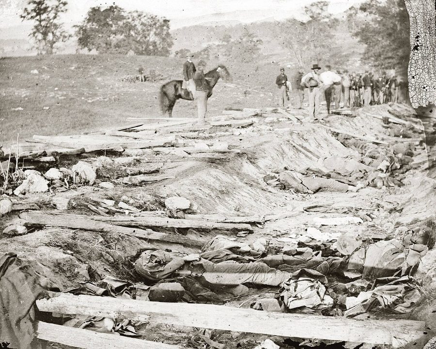
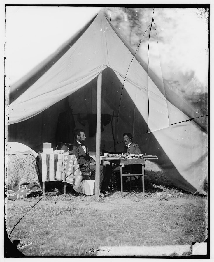
On 17 September 1862, McClellan's Army of the Potomac attacked Lee's Army of Northern Virginia along Antietam Creek near Sharpsburg, Maryland, ending Lee's first invasion of the North. The fighting moved from the Cornfield and the West Woods in the morning, to the Sunken Road at midday, to Burnside Bridge in the afternoon. With about 23,000 men killed, wounded or missing, it remains the bloodiest single day in American history. The battle was tactically inconclusive, but Lee's withdrawal gave Lincoln the victory he needed to issue the preliminary Emancipation Proclamation, which made ending slavery a war aim and helped keep Britain and France from recognizing the Confederacy.
Open the interactive map14 stages on modern satellite imagery and terrain, with 3D elevation
This battle is free to explore — no account needed.
The battle, stage by stage
- Daybreak
Positions at dawn
(atlas map 1). Lee holds a 4-mile line west of Antietam Creek, from the Nicodemus farm in the north to the lower bridge. McClellan's army is massed east of the creek, with Hooker's I Corps already across on the north. Red = Confederate, blue = Union.
- 6:00–6:20 AM
Hooker's I Corps attacks
(Battlefield Board atlas, map 2). Hooker's I Corps advances south from the Poffenberger farm down the Hagerstown Pike and through Miller's Cornfield against Jackson's men. Doubleday on the right, Ricketts on the left, Meade's Pennsylvania Reserves in support.
- 6:45–7:00 AM
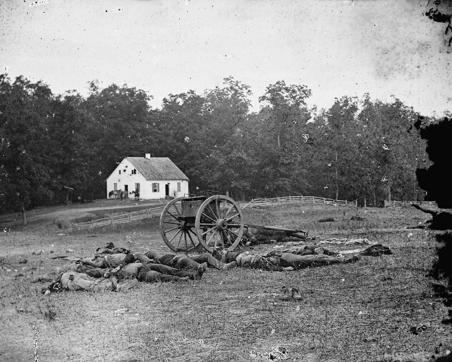
Hood's counterattack
(Battlefield Board atlas, map 3). Hood's Texans and Law's brigade burst out of the West Woods by the Dunker Church and drive the I Corps back through the Cornfield. The 1st Texas loses over 80 percent of its men.
- 7:20 AM
Mansfield's XII Corps comes up
(Battlefield Board atlas, map 4). Mansfield's XII Corps arrives from the East Woods; Mansfield is mortally wounded almost at once.
- 7:30 AM
XII Corps in the East Woods
(Battlefield Board atlas, map 5). Williams' and Greene's divisions push through the East Woods and the Cornfield toward the Dunker Church plateau.
- 8:00 AM
Greene reaches the Dunker Church
(Battlefield Board atlas, map 6). Greene's division of the XII Corps drives to the plateau opposite the Dunker Church and holds it alone.
- 8:30–8:40 AM
Sedgwick enters the West Woods
(Battlefield Board atlas, map 7). Sumner leads Sedgwick's division of the II Corps west across the Cornfield into the West Woods in three tightly packed lines.
- 9:00–9:30 AM
Sedgwick's division is shattered
(Battlefield Board atlas, map 8). McLaws' and Walker's divisions hit Sedgwick in the flank in the West Woods; some 2,200 men fall in about twenty minutes.
- 10:30 AM
Assault on the Sunken Road
(Battlefield Board atlas, map 9). French's and then Richardson's divisions of the II Corps attack D.H. Hill's men in the sunken farm lane.
- Noon–12:15 PM
Bloody Lane falls
(Battlefield Board atlas, map 10). A misunderstood order pulls back part of the Confederate line; the Irish Brigade and Caldwell's men enfilade the lane, which becomes 'Bloody Lane'.
- 1:00 PM
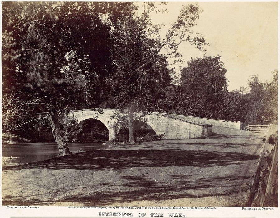
Burnside's Bridge is carried
(Battlefield Board atlas, map 11). After three failed attempts, the 51st New York and 51st Pennsylvania storm the stone bridge; Rodman's division crosses at Snavely's Ford.
- 3:30–3:45 PM
The IX Corps advances on Sharpsburg
(Battlefield Board atlas, map 12). Burnside's IX Corps climbs the heights south-east of Sharpsburg and drives toward the town and Lee's only line of retreat.
- 4:20 PM
A.P. Hill arrives from Harpers Ferry
(Battlefield Board atlas, map 13). A.P. Hill's Light Division, after a 17-mile march from Harpers Ferry, crashes into the IX Corps' exposed left flank.
- 5:30 PM
The day ends
(Battlefield Board atlas, map 14). Burnside falls back toward the bridge. The bloodiest single day in American history ends with about 23,000 casualties.
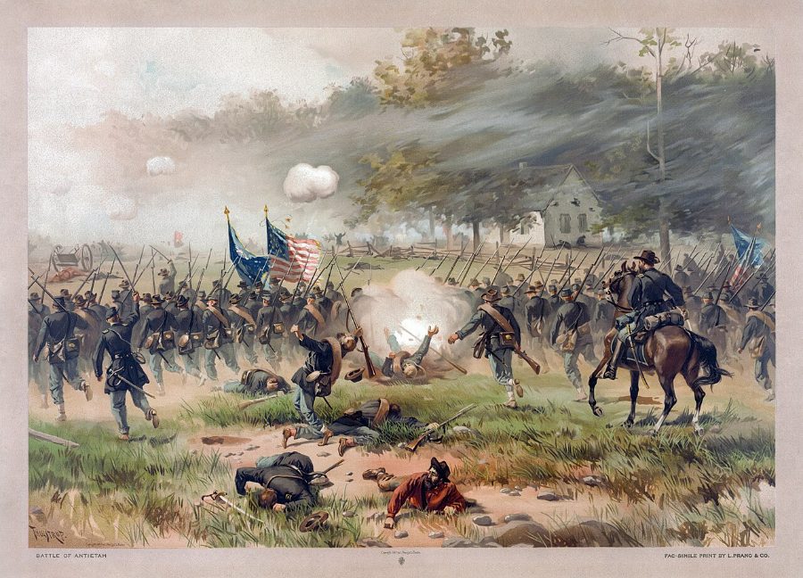
Paintings and photographs





Sources and method
How to use: pick one entry under "The battle". Entry 0 is daybreak. Each later entry is the next atlas map: tall blocks are units that moved since the previous map, flat yellow outlines show where they came from, arrows join them, and low grey blocks are everyone else at that hour. Red = Confederate, blue = Union. The "Original maps" folder holds each atlas sheet as an overlay.
Unit names are given at division/brigade level from the battle narrative; individual block labels are approximate.