Saratoga, 19 September & 7 October 1777
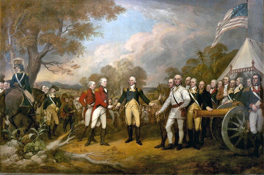
In the autumn of 1777, General John Burgoyne's army, advancing south from Canada to cut New England off from the other colonies, was stopped by Horatio Gates's Americans on Bemis Heights near Saratoga, New York. At Freeman's Farm on 19 September the British held the field but at heavy cost; at Bemis Heights on 7 October their attack was beaten back and Benedict Arnold stormed the Breymann redoubt. Burgoyne retreated, was surrounded at Saratoga, and surrendered his whole army on 17 October. The victory persuaded France to enter the war as an American ally in 1778, often seen as the turning point of the Revolution.
Open the interactive map7 stages on modern satellite imagery and terrain, with 3D elevation
This battle opens with Battlefield Enjoyer ($1.99 a month on Patreon), which unlocks every battle with American forces, or Battlefield Explorer ($5) for every battle. Free battles include Yorktown, Waterloo, The Alamo, Antietam, Little Bighorn, Belleau Wood, Omaha Beach, Ia Drang.
The battle, stage by stage
- Morning, 19 Sept 1777
Burgoyne advances in three columns
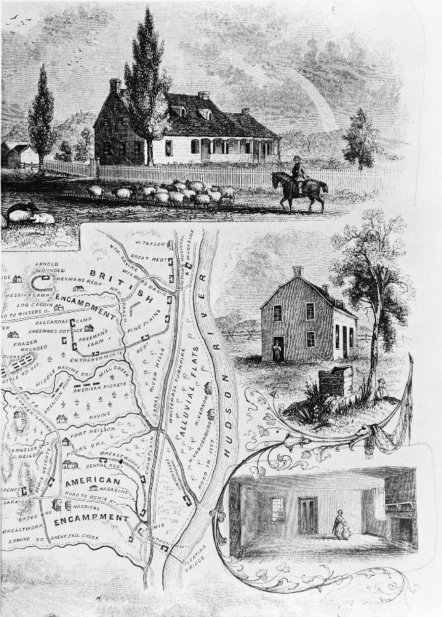
Burgoyne's army, cut off from Canada and short of food, marches south toward Albany. Fraser swings west with the light infantry, grenadiers, 24th and Germans to seize the high ground; Hamilton's four British regiments march through the centre with Burgoyne; Riedesel's Germans follow the river road. Gates's army waits behind Kosciuszko's entrenchments on Bemis Heights.
- 1 PM
Morgan strikes at Freeman's Farm
Gates lets Arnold send out Morgan's riflemen and Dearborn's light infantry. At the Freeman farm clearing they shoot down the officers of Forbes's advance pickets, then charge headlong into Hamilton's main line and are scattered. Arnold begins feeding Poor's brigade forward.
- 3 PM
The fight for the clearing
The 1st, 2nd and 3rd New Hampshire and the Connecticut militia fight Hamilton's regiments back and forth across the Freeman field. The 62nd Foot is cut to pieces; British artillerymen are shot down at their guns. Fraser holds the British right but cannot turn the American flank.
- 5 PM
Learned joins the line
Learned's New York regiments extend the American left against Fraser and the Jaegers. Hamilton's line is close to breaking — the 62nd has lost over half its men — when Riedesel arrives from the river road with his Germans and two guns.
- Dusk
Riedesel saves Burgoyne
Riedesel's attack on the American right ends the fighting at dark. The Americans withdraw to Bemis Heights; the British hold the field but have lost about 600 men to the Americans' 300, and Burgoyne digs in at Freeman's Farm to wait for Clinton.
- 7 Oct, about 2 PM
The reconnaissance in force
With no relief coming, Burgoyne sends 1,500 picked men with ten guns to probe the American left at the Barber wheatfield. Gates attacks at once: Morgan hits Fraser's right flank, Poor's brigade the grenadiers on the left, Learned the Germans in the centre.
- 7 Oct, late afternoon
Arnold storms Breymann's redoubt
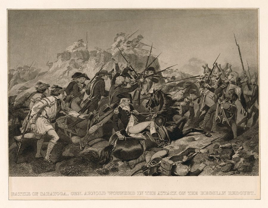
Acland's grenadiers are routed and Fraser is mortally wounded by one of Morgan's riflemen. Arnold, without command, leads Learned's men against the Balcarres redoubt and then round to Breymann's redoubt, which falls at dusk; Arnold is shot in the leg. Burgoyne retreats to Saratoga (Schuylerville) and surrenders his army on 17 October — the turning point that brought France into the war.
On American Marksman
Morgan's riflemen and Timothy Murphy's shot ≈300 yd
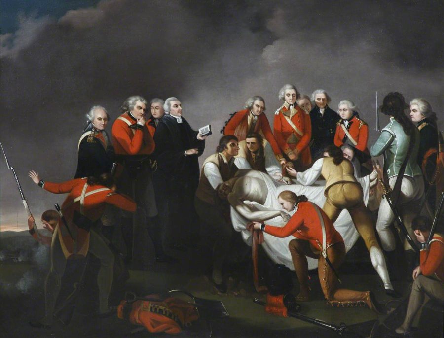
On 7 October 1777, as General Simon Fraser rallied the British right near the Barber wheatfield, one of Daniel Morgan's riflemen shot him from the woods to the west. Tradition names the rifleman as Timothy Murphy, firing from a tree at around 300 yards; Fraser died the next morning and Burgoyne's line gave way. The target point is the park marker where Fraser was struck; Murphy's position follows the traditional distance and direction.
Paintings and photographs




Sources and method
How to use: pick one entry under "The battle". Tall blocks moved since the previous map, flat yellow outlines show where they came from, arrows join them, low grey blocks are everyone else. Red = British and German, blue = American.