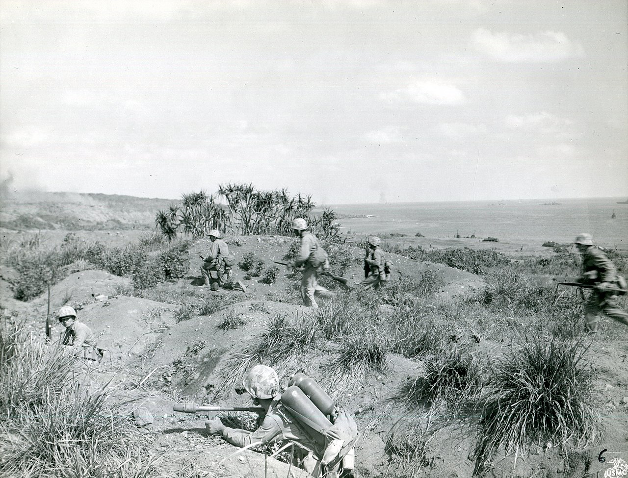
Iwo Jima, 19 February – 26 March 1945
From 19 February to 26 March 1945, three divisions of the V Amphibious Corps fought to take Iwo Jima, an eight-square-mile volcanic island halfway between the Marianas and Japan, whose airfields threatened American B-29 raids and could serve as an emergency base for them. Lieutenant General Kuribayashi's 21,000 defenders fought from a network of tunnels and bunkers rather than on the beaches, and nearly all died. It was the only battle of the Pacific War in which American casualties outnumbered Japanese, and the photograph of the flag on Mount Suribachi became the defining image of the Marine Corps. By the war's end more than 2,000 crippled B-29s had landed on its airfields.
Open the interactive map7 stages on modern satellite imagery and terrain, with 3D elevation
This battle is part of the full atlas, open to Patreon members. Free battles include Yorktown, Waterloo, The Alamo, Antietam, Little Bighorn, Belleau Wood, Omaha Beach, Ia Drang.

The battle, stage by stage
- 19 Feb 1945, 09:00
The landing
After three days of naval bombardment, the first waves of the 4th and 5th Marine Divisions land on the volcanic-ash beaches of the south-east coast, from Green Beach under Mount Suribachi to Blue Beach by the quarry. Kuribayashi has forbidden a defence at the water's edge: his 21,000 men wait in tunnels, bunkers and caves until the beaches are packed.
- 19 Feb, afternoon
Across the neck
The 28th Marines cut across the island's 800-metre neck to the west coast by mid-morning, isolating Suribachi. The 27th and 23rd push onto the edge of Airfield No. 1 while the 25th is pinned under the cliffs by the quarry. By nightfall 30,000 Marines are ashore and 2,400 have been killed or wounded.
- 20–23 Feb
Suribachi and Airfield No. 1
Airfield No. 1 falls on 20 February. The 28th Marines fight their way up Suribachi cave by cave; on the morning of 23 February a patrol raises a small flag on the summit, and that afternoon a second, larger flag goes up — the moment Joe Rosenthal photographs. The rest of the corps forms a line across the island north of the airfield.
- 24–27 Feb
Airfield No. 2
The 3rd Marine Division is committed in the centre and drives across Airfield No. 2 against the strongest part of the main defence belt, while the 5th Division advances along the west coast and the 4th on the east.
- 28 Feb – 7 Mar
The Meat Grinder
The 3rd Division takes Motoyama village and the plateau; the 4th Division is fed into the 'Meat Grinder' of Hill 382, Turkey Knob and the Amphitheater, and the 5th fights for Hill 362A and Nishi Ridge. A night attack by the 9th Marines on 7 March breaks into Hill 362C. Gains are measured in yards.
- 8–11 Mar
To the north coast
The 3rd Division reaches the north-east coast on 8 March, splitting the defence in two. That night Captain Inouye leads a naval counterattack into the 4th Division's lines and is wiped out. The survivors are compressed into pockets: Cushman's Pocket in the centre, the 'Gorge' near Kitano Point in the north-west, and the cliffs east of Tachiiwa Point.
- 16–26 Mar
The Gorge and the last attack
The island is declared secure on 16 March, but the 5th Division needs ten more days to clear the Gorge, where Kuribayashi has his last command post. Before dawn on 26 March about 300 Japanese attack the airmen's and pioneers' camps west of Airfield No. 2. American losses: 6,821 dead and 19,217 wounded; of the 20,933 defenders, 216 are taken prisoner during the battle.
Paintings and photographs